Earth observation and geospatial AI: Carto makes it accessible, intuitive, and affordable.
With the Spheer App, you can easily develop custom monitoring tools to analyse large areas and gain valuable insights into biodiversity, agriculture, water management, climate adaptation, infrastructure, smart cities, and other spatial challenges.
Satellite data and artificial intelligence are powerful tools
at Spheer, we make them accessible and easy to use. With the Spheer App, you get:
Ease of use without technical barriers
No knowledge of AI or satellite data required—your own expertise is enough. Train a model right in your browser and get usable insights within minutes. No hassle—Spheer's AI engine does the heavy lifting.
Smart AI that adapts to your challenge
Our geo-foundation model has learned to analyse the Earth’s surface from years of satellite imagery. The Spheer App combines this intelligence with your examples to create accurate, tailored monitoring.
Seamless integration with GIS systems
The App connects effortlessly to existing GIS workflows. Export maps and analyses in common formats for direct use in QGIS, ArcGIS, or other geospatial tools.
Efficient collaboration and data-driven decisions
Collaborate with stakeholders and partners on shared projects, exchange models and insights, and make decisions based on shared data.
How does it work?
About the platform
The Spheer App is your central platform for advanced, space-based area monitoring. Collaborate with colleagues and partners on a shared understanding of your region. Easily add new observations, refine your model, and improve predictions based on team feedback—all in one clear interface.
As a fully cloud-based service, the App requires no local infrastructure and can be accessed from anywhere—all you need is a browser. Whether you're at your desk or out in the field, the App goes with you.
The Spheer App works with projects: areas of interest where you can monitor one or more indicators over time. From small test areas to nationwide cases, the App scales effortlessly with your organisation’s needs. You stay in control of your datasets and models throughout.
What makes the Spheer App unique is its foundation model, trained on years of Sentinel-2 satellite imagery. This gives the App a deep understanding of the Earth’s surface and its dynamics. As a result, the platform can produce accurate predictions with minimal input—from vegetation growth to water quality and spatial change. And thanks to ongoing improvements in our smart AI, your models get better over time, without needing to dive into technical complexity.
Use cases

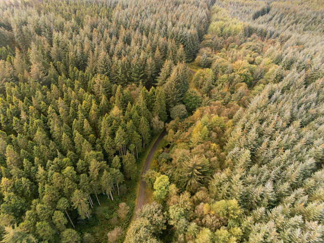
Nature
Track changes in vegetation, biodiversity and ecosystems over time.

Water
Monitor water quality, drought, flooding and changes in surface water.

Agriculture
Assess agricultural practices, nature inclusivity and crop quality.
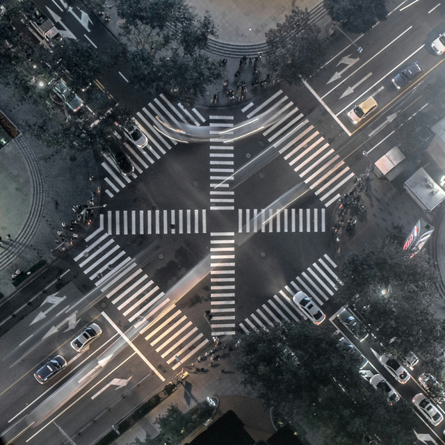
Spatial planning
Analyse urban expansion, detect landscape features and track changes in infrastructure.
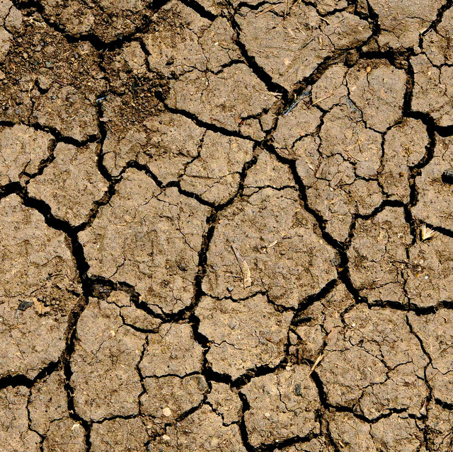
Climate adaptation
Detect heat stress, soil degradation and other climate-related changes.

ESG
Map environmental impact and sustainability indicators. Monitor CO₂ storage, land use and ecological impact to make ESG goals measurable and transparent.
See use cases










Spheer's numbers
Active users
Organisations use Spheer for policy, management and monitoring
million hectares of land already monitored by Spheer
Completed cases in the Spheer App
Time saved when analysing large areas
More frequent monitoring on the same budget
Minutes to create a usable map instead of weeks
Fewer examples needed for reliable monitoring
Spheer uses state-of-the-art AI to intelligently analyse satellite data from across the Earth’s surface, enabling seamless landscape monitoring.
Satellite data as foundation
Spheer uses Sentinel-2 satellite imagery, which captures the Earth’s surface every five days at a resolution of up to 10 metres. These images form the backbone of Spheer's analysis, enabling continuous monitoring of changes in nature, water and land use. In the future, the Spheer App will be extended with high-resolution aerial imagery and additional data sources for even more detailed insights.
Smart time series: a full-year analysis
The Spheer App captures seasonal patterns and natural variation, by analyzing all satellite data from across the year in stead of relying on a single image. This results in a much more accurate and reliable view of structural landscape changes.
Seamless GIS integration
The Spheer App integrates smoothly with geoinformation systems. You can easily export maps and analyses in standard formats for use in QGIS, ArcGIS or other spatial workflows. For more advanced applications, Spheer also includes an API.
Scalable AI architecture that learns from your expertise
The Spheer App is built on our own foundation model, trained on years of satellite data, giving it a deep understanding of the Earth’s surface. You only need to train the final bit: by providing a few observations, you teach the App your specific monitoring goal. This makes the process both powerful and accessible: you get the benefits of cutting-edge AI without having to build your own model from scratch.
Lightning-fast, iterative analysis: Spheer as your smart assistant
Thanks to parallel processing, Dask distribution, and cloud computing, the Spheer App analyses large areas within minutes. It’s like working with a colleague who thinks along with you—helping you experiment quickly and refine models without waiting.
Frequently Asked Questions
Is your question not covered here? Please send us a message!
- How secure is Spheer's AI? Does the Spheer App comply with the European AI Act?
Spheer's artificial intelligence consists of two parts: our foundation model, and the Spheer App system in which specific models are trained for each use case. To ensure compliance with the European AI Act by August 2025 (when the law’s requirements take effect), Spheer follows the guidelines and compliance checker provided by the Future of Life Institute:
- Foundation model: our foundation model qualifies as a General Purpose AI Model without Systemic Risk. To comply with the AI Act, we will soon publish a Model Card on our website, explaining how the model was developed and how it should be used.
- The Spheer App: the App falls under the category of ‘Limited Risk AI Systems’. In line with the AI Act, we clearly state within the App that users are interacting with an AI model, and we include in our terms of use that users remain responsible for any decisions made based on insights from the Spheer App.
- Do I need technical knowledge to use the Spheer App?
No, you don’t!
The Spheer App is designed for everyone, regardless of technical background. You don’t need to know anything about AI or satellite data—just use your browser to train a model and get valuable insights within minutes. Your expertise in the subject matter on the ground is all you need.
And if you ever need help using the App, we’re happy to assist!
- How accurate is the Spheer App?
The Spheer App is highly accurate, thanks to our foundation model trained on years of Sentinel-2 satellite data.
Field validations with our users show that the App is often as accurate as manual mapping by experts. The platform delivers detailed, trustworthy maps—giving you confidence in your decisions.
Read more about how users apply Spheer.
- How quickly will I see results?
Within minutes!
Spheer delivers fast, accurate maps for both small and large areas. Upload a few examples or draw them directly in the App, click “train model,” and receive insights for your area of interest, almost instantly, going back to 2017. Refine as needed until your map is just right.
- How large an area can I monitor with Spheer?
Spheer lets you consistently monitor large areas—up to entire provinces or beyond! Thanks to our smart and scalable architecture, users can train models and generate maps for province-sized areas in just minutes.
The Spheer App also works just as well for smaller areas—whether it’s a single municipality or nature reserve


