Annual structure maps for the North Holland dune area
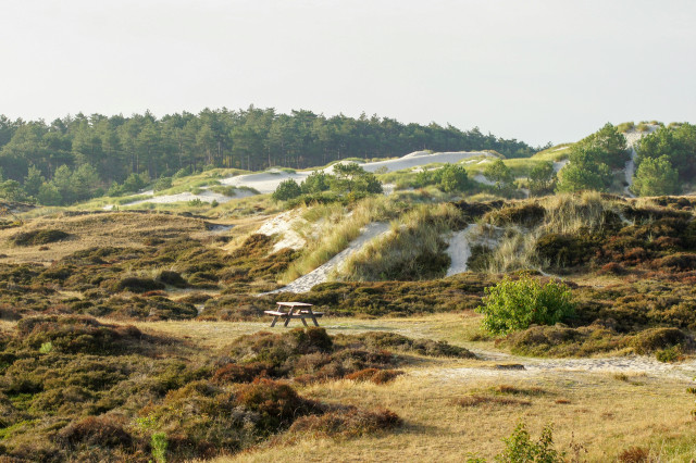
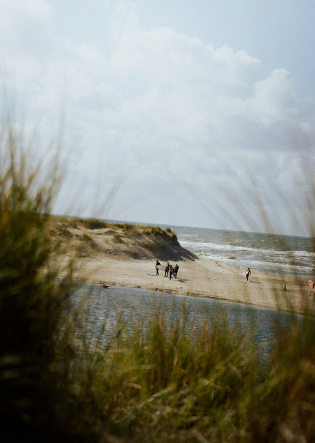
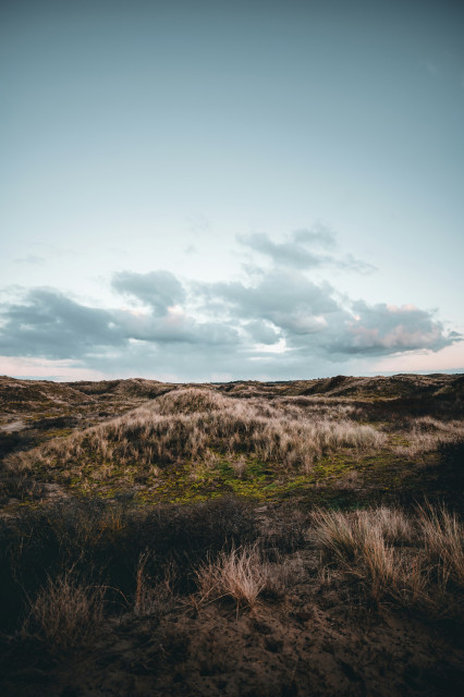
The dune areas of North Holland are dynamic, rich in biodiversity, and of great ecological importance. For PWN, the drinking water company of North Holland and manager of these areas, reliable monitoring is essential.
To effectively protect and manage these landscapes, up-to-date insight into vegetation structure is crucial: How are sand drifts developing? Where is shrub encroachment increasing? How is the balance shifting between forest, herbaceous vegetation, and open water?
To answer these questions, two time-consuming methods are currently used:
- Every twelve years, a full vegetation mapping is carried out, including a structure map.
- Additionally, a network of approximately 2,000 points is measured in a six-year rotation scheme.
These efforts require multiple fieldworkers each year, and compiling a complete picture can take several years. While highly detailed, the information is often not current.
A faster, more up-to-date approach
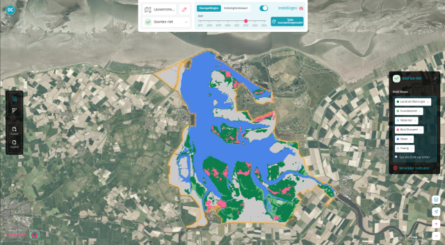
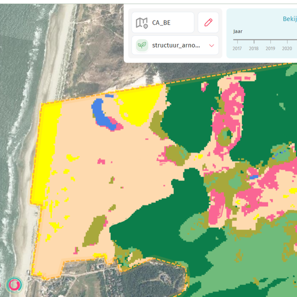
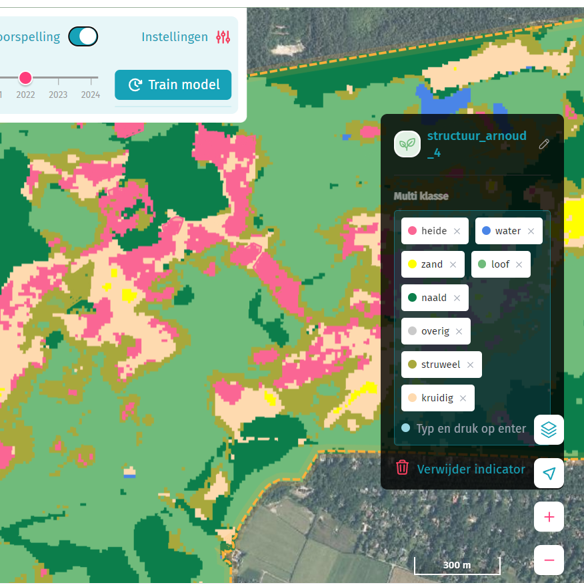
Together with Spheer, PWN explored how the Spheer App could be used to generate structure maps annually and automatically using satellite data. For now, seven classes are distinguished: water, sand, heath, herbaceous vegetation, shrubs, deciduous forest, and coniferous forest.
The goal is to create a map that quickly provides insight into the spatial distribution of these vegetation types, with enough resolution to detect changes at a landscape scale.
The App's spatial resolution (10 meters) is coarser than field surveys, but it offers a key advantage: speed and repeatability. An initial map is generated within minutes, and updates can be produced annually—without months of fieldwork.
This provides an additional source of information, enabling faster detection of trends in vegetation structure and clearer visibility of patterns over time. By adding up-to-date structure maps to the existing monitoring toolkit, a richer picture emerges of how the landscape is changing.
A foundation for broader insight
The maps complement existing efforts and can contribute to:
- Mapping long-term changes in sand drift and shrub development;
- Tracking trends in forest structures and open water.
By making these structure maps available on an annual basis, the Spheer App helps identify patterns more quickly and offers valuable support in PWN’s broader understanding of the area.
PWN
PWN is responsible for providing drinking water to over 800,000 households, businesses, and institutions, and for managing more than 7,800 hectares of dune nature, including the North Holland Dune Reserve and parts of Zuid-Kennemerland National Park.

