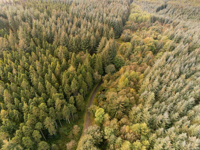
Spheer helps North Brabant build a more complete and up-to-date forest overview
The Province of North Brabant has set ambitious goals for its forest strategy, known as Aanpak Brabantse Bomen. Each year, it reports progress to the national government through the Voortgangsrapportage Natuur. To do so, a clear picture is needed of where forests are located—both inside and outside the National Nature Network (NNN).
Until now, this was done primarily using the nature management types map (natuurbeheertypekaart), which distinguishes various forest types within the NNN—such as wet forests, dry forests, production forests and cultural-historical forests. While this map is carefully compiled, it doesn’t always reflect what’s happening on the ground. In areas labeled as heathland or grassland, up to 20% of the land may consist of shrubs or trees, which means this forest cover goes unregistered in the current method.
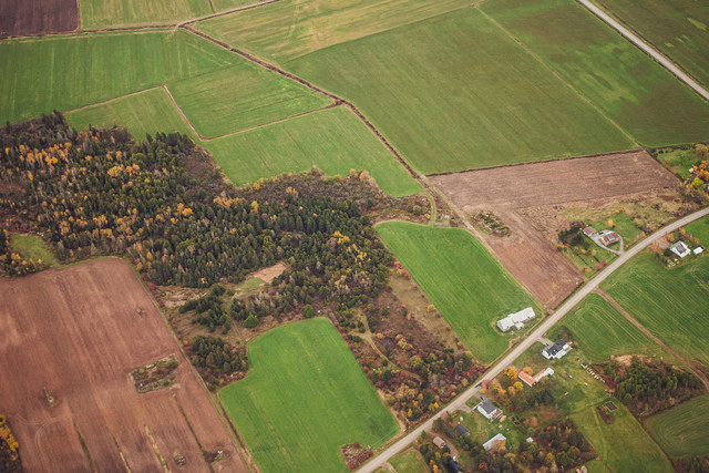
Outside the NNN, the challenge is even greater. These forests are not included in the official nature management plans by default, yet they form an important part of the Aanpak Brabantse Bomen. To track progress on this strategy, it’s essential to also monitor forests beyond the NNN boundaries.
"With Spheer, the Province has gained an instrument to map forests more frequently, consistently, and objectively."

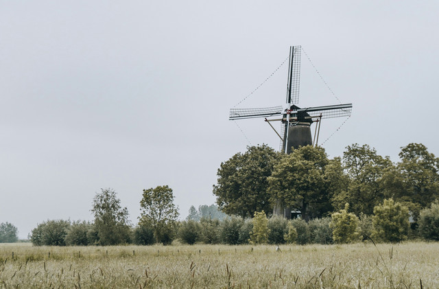

The Spheer App reveals more forest
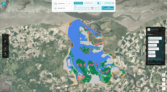
In collaboration with Spheer, the Province is now using the Spheer App to create a more complete and current picture of Brabant’s forest cover. The App analyses satellite imagery using geo-AI and generates a new tree map for the entire province each year.
We say “tree map,” because forests must meet a strict definition: to qualify as forest, trees must cover an area of at least 0.5 hectares and must not be long and narrow in shape. Spheer is highly effective at detecting trees; the results can then be evaluated against forest criteria to create a complete and validated forest map of Brabant.
Initial tests already showed that the App can detect additional forest areas—both inside and outside the NNN. In the next phase, North Brabant plans to scale these insights to the entire province.
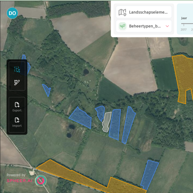

Every tree counts
With Spheer, the Province gains an instrument to map forests more frequently, consistently, and objectively. This means:
- Less reliance on fragmented data from third parties
- Stronger foundations for national reporting
- Better visibility of previously overlooked forest structures
- Faster ability to adjust policy and management
As they say in Brabant: every tree counts. The Spheer App equips the province to map its forests more completely, consistently, and regularly—helping to turn the goals of its forest strategy into reality.

