Annual monitoring of purple moor-grass
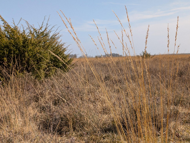
Heathlands are among the most iconic landscapes in the Netherlands, but they are under pressure. Due to nitrogen deposition and drought, grass species like purple moor-grass (Molinia caerulea) are increasingly overtaking the heath. This process, known as grass encroachment, threatens fragile habitats and leads to biodiversity loss.
To counter this trend, provinces like North Brabant have for years implemented measures such as mowing, sod-cutting, and grazing. But to know whether, where, and when those efforts are working, reliable monitoring is essential.
Until recently, this was difficult to assess. Vegetation surveys are only conducted once every twelve years — far too infrequent to track trends or adjust policies in time.


From pilot to practice
In 2021, Spheer carried out a pilot project in collaboration with the provinces of North Brabant, Drenthe and Friesland, using satellite imagery to map grass encroachment. The focus was on purple moor-grass, the dominant species in this process. The results were convincing:
- Annual maps provided an up-to-date and objective overview of grass coverage
- Problem areas became visible much earlier
- Management interventions could be better evaluated and adjusted
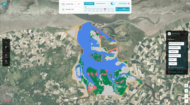
Following the successful pilot, North Brabant took the next step and adopted the method on a structural basis. In 2024, Spheer delivered a complete ten-year time series of encroachment maps for all heathlands in the province. These maps are now being used in the creation of new management plans.
A step further: comparing AI methods
In addition to delivering maps, Spheer conducted a comparative study in 2024 to evaluate different AI-based monitoring approaches. The result? The foundation model approach, as implemented in the Spheer App, significantly outperformed traditional, manually trained models in several areas:
- Higher accuracy
- More stable multi-year trend analysis
- Much faster model training times
This approach makes it possible to monitor purple moor-grass, and with that grass encroachment, annually, quickly and reliably.


What this means for nature management
This new approach allows land managers and policymakers to:
- Target efforts more precisely to restore ecosystems and biodiversity
- Objectively track the effectiveness of interventions
- Save time and reduce costs on fieldwork
The method also offers promise for the future. It aligns with broader developments in nature monitoring, and with the App, other vegetation types — such as common heather — can be easily integrated. This marks an important step toward achieving a complete, up-to-date and efficient view of Dutch heathlands, year after year.


