Policy insights for Groningen’s coastal marshes
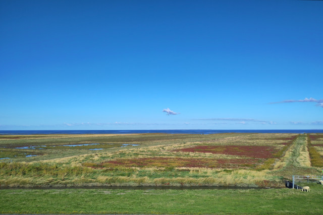
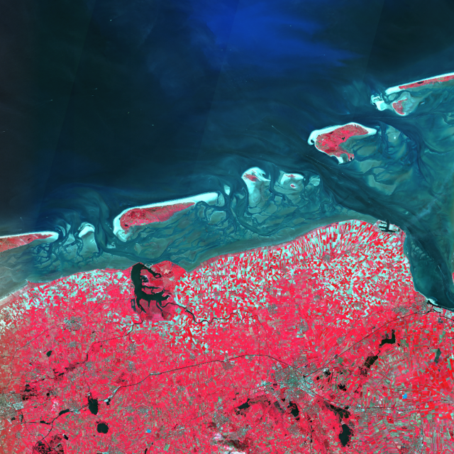
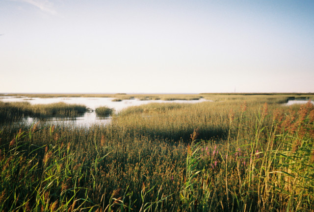
The salt marshes along the northern coast of Groningen are part of the globally significant UNESCO World Heritage Wadden Sea. This dynamic landscape is under pressure from the spread of sea couch, a fast-growing grass species that crowds out native plants and reduces biodiversity.
To combat this, the Province of Groningen provides subsidies to landowners to encourage grazing with livestock. To assess the effectiveness of this measure, and to make well-informed decisions on future subsidies, it is essential for the province to monitor the spread and development of sea couch with precision.
From manual inspection to data-driven monitoring
Through the VEGWAD monitoring programme of Rijkswaterstaat, the Province of Groningen receives a detailed vegetation map of the marshes once every six years. But for a species that can spread rapidly within a year, this frequency is insufficient for making sound policy decisions. In addition, visual inspections from the dike are subjective and lack quantitative accuracy.
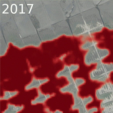
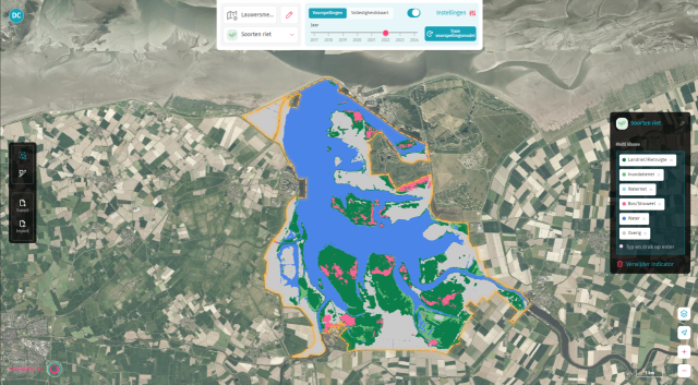
To stay in control of the situation, Spheer now maps the spread of sea couch annually on behalf of the province, using satellite-AI. This informatie enables the Province to:
- Accurately track sea couch development
- Quantitatively assess the impact of grazing programmes
- Inform the Provincial Executive with data-backed policy advice
- Make well-supported decisions on land-use subsidies
New technology, better insights
Since 2024, Spheer has further improved its marshland monitoring using Spheer's foundation model. This results in more stable trends and even more accurate maps, giving the province a stronger basis for policy decisions.
The Spheer App has proven that frequent and detailed monitoring is not only possible, but directly contributes to more effective nature management. By combining satellite data and AI, the Province of Groningen gains a complete and up-to-date view of its valuable coastal ecosystems.

